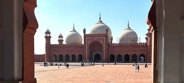
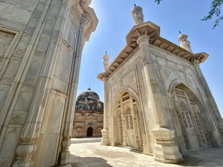
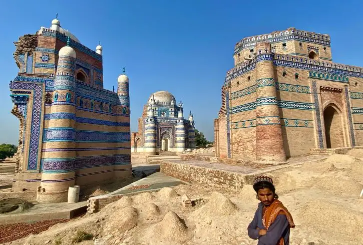
After breakfast we drive approximately one hour to Taxila, one of South Asia's most important archaeological treasures. This UNESCO World Heritage site preserves remains of three great cities and dozens of Buddhist monasteries dating from 600 BCE to 600 AD, strategically positioned where trade routes linking China, India, Central Asia, and the West converged. Taxila survived through successive empires including the Achaemenids, Greeks, Mauryans, and Kushans, each leaving their architectural and cultural mark.
Buddhism took hold here around 275 BCE under Emperor Ashoka's patronage, and from this centre the religion spread northward to Central Asia, Tibet, and China. The city became renowned as a centre of learning, attracting scholars from across the ancient world to study philosophy, medicine, and the arts.
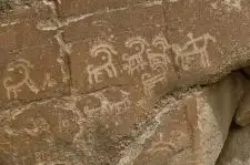
We visit Taxila Museum, housing one of the world's finest collections of Gandharan art and sculpture. This distinctive artistic style emerged from the fusion of Greek, Persian, and Indian influences, producing remarkably realistic Buddha figures and narrative reliefs that influenced Buddhist art across Asia. The museum displays artifacts spanning nearly 2,000 years of continuous habitation, including coins, jewelry, pottery, and architectural fragments.
We explore the Dharmarajika Stupa, one of the earliest Buddhist monuments in the region, originally built to house relics of the Buddha himself. Weather and time permitting, we visit the nearby ancient city of Sirkap, laid out in a grid pattern reflecting Greek urban planning principles.
We continue to Rawalpindi for lunch, followed by exploration of this historic garrison city and its vibrant old bazaar, where traditional commerce continues much as it has for centuries.
We return to Islamabad for the evening.
Overnight in Islamabad.
Included Meal(s): Breakfast, Lunch and Dinner